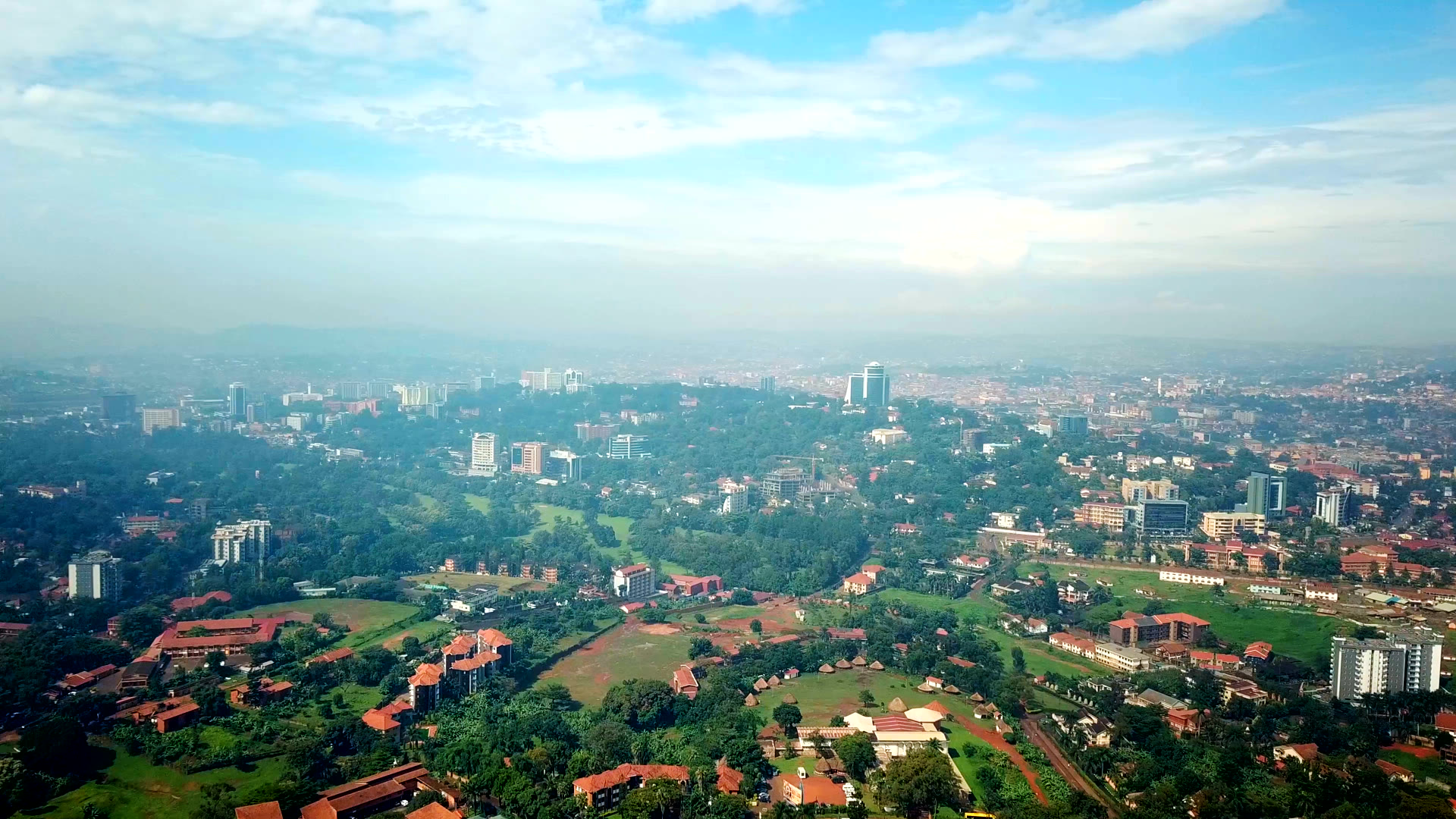

Every rainy season the Kampala-Hoima road goes under water at Lubigi, motorists inch through Kinawataka and Banda, and the same argument follows: is it climate change, or is it us? This analysis puts the question to open data: satellite rainfall back to 1981, every drain and culvert mapped on OpenStreetMap, more than half a million building footprints, fifty years of built-up and population maps, a thirty-metre terrain model and ten years of radar.
Across Greater Kampala the wettest day of the year has not grown since the early 1980s. The floods come on ordinary rain, into channels that have been built over, blocked and squeezed.
The full analysis, with the flood-day rainfall percentiles and the drainage map, is published on the author's Substack.